MTB Project Route Map
UPDATED FOR 2024, avoiding North Slope construction: https://ridewithgps.com/routes/48390530
Stats:
Elevation gain – 10,000 feet (give or take)
Max gradient – 49.4%
Distance – 63(ish)miles
Max Elevation – 11,287 feet above sea level
Noteworthy:
Water filtering locations are all around. There are a lot of streams and depending on how much moisture we get, you could have a lot of options or just a few. Some locations include:
1. Crags Campground
2. Horsetheif Park (small stream)
3. Spring on the side of Hwy 67 just before reaching the turn for Hwy 81
4. KOA Campground on Hwy 81
5. Gold Camp Road
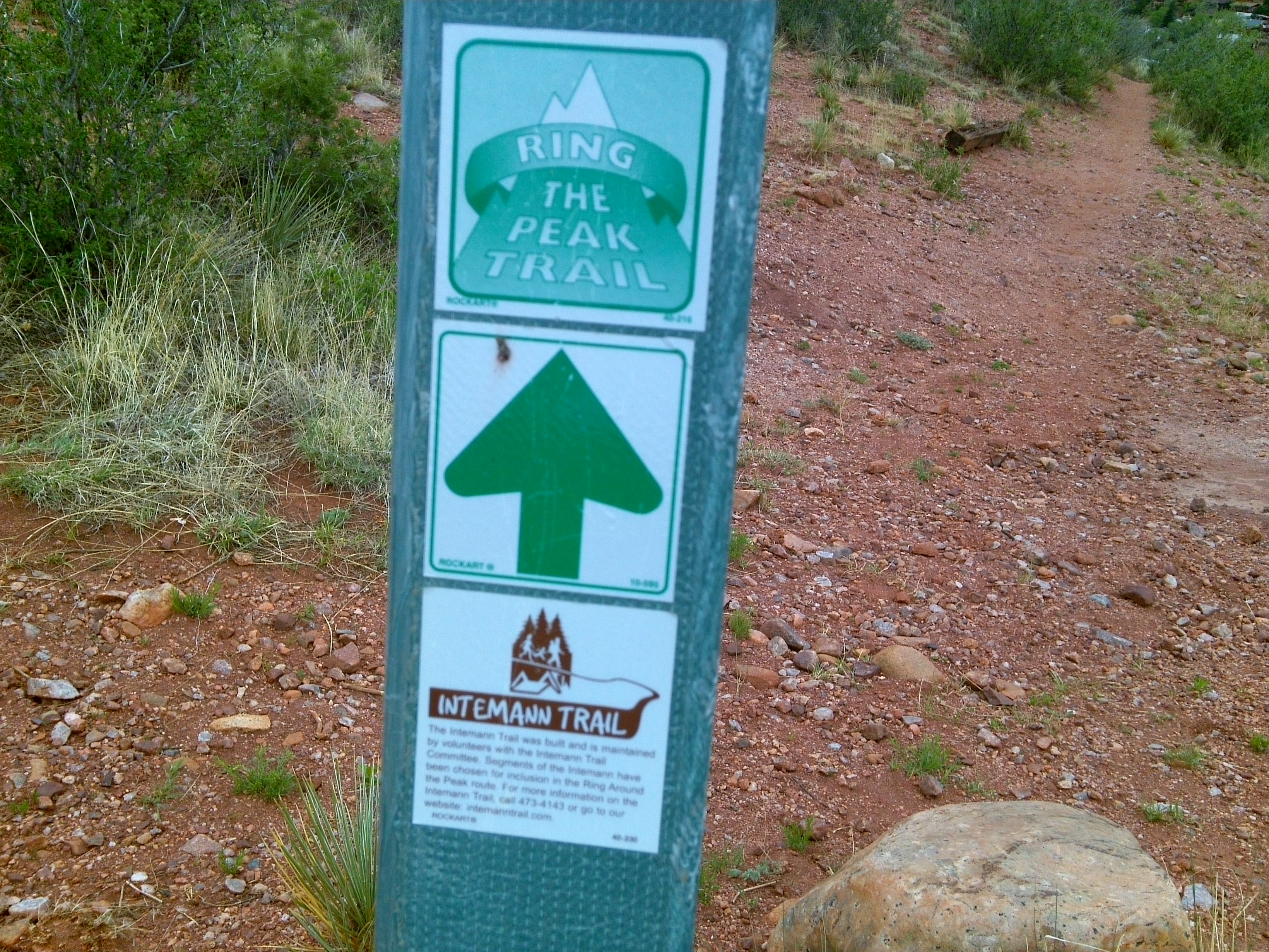
Following the Signs
The route is well marked. You may disagree if this is your first time. The basic idea is this: be like Dory and just keep swimming (pedaling). You will find those green signs that point you in the right direction. Go that way; you’ll come to another sign soon enough. At certain points you may question if you’re going in the right direction. Just continue on what seems like the main trail and trust your Jedi instincts. Follow the GREEN signs, NOT the brown signs.